|
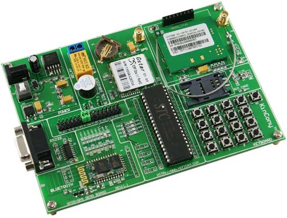
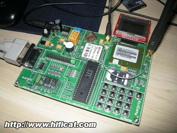
Description This product include GPRS development board and GPS development board functions . The new GPS + GPRS development board retaining the former SIM300 GPRS development board all functions , at the same time the new version added bluetooth interface resources, it can send GPS data by GPRS , now we have developed the program to send GPS geographic information through the GPRS way to PC computer in real time and also it will be marketed in Google map.
Hardware Description 1, on-board high power switches for easily debugging and switch operation.
2, high current power supply design using the special power IC–MIC29302, to ensure stable power supply. Why we have not use LM7805? the 5V output voltage very close to the module’s upper critical point, so work long time, poor stability, it’s dangerous, the maximum output current of LM7805 is 1.5A and MIC29302′s maximum output current up to 3A, in poor signal areas, in order to search for network signals, the module will enhance the their transmit power, then the current consumption is very large. 3, hardware resources and interfaces: 4,4-LED status indicators: the user can control LED to facilitate the debugging work. 5, eight communication jumper mode: 6, All MCU I / O pin expansion : 40 pin outside , for users extended use in the each side of the MCU pins, all directly connected with the chip . 7, on-board microphone, handset interface: We have designed the module board microphone circuit interface, users can directly solder the microphone and speak on the board. 8, STC12C series of high-end CPU, maximum frequency up to 90MHz, the on-chip 60KFLASH program memory, 8K or so chip EEROM, 512B-1208B-chip RAM, 36 IO mouth. 9,1 LED indicators: a power indicator. 10, ISP interface (for program download, serial monitor). 11, RS232 interface, ISP; support for serial debugging. 12,9 v DC power input: with power indicator light.
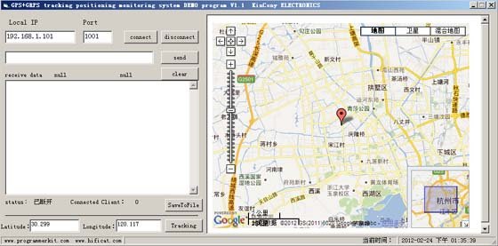
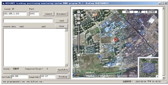
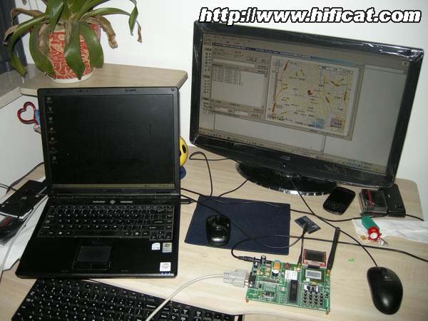
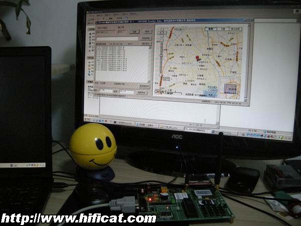
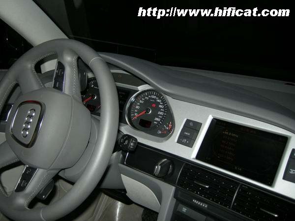
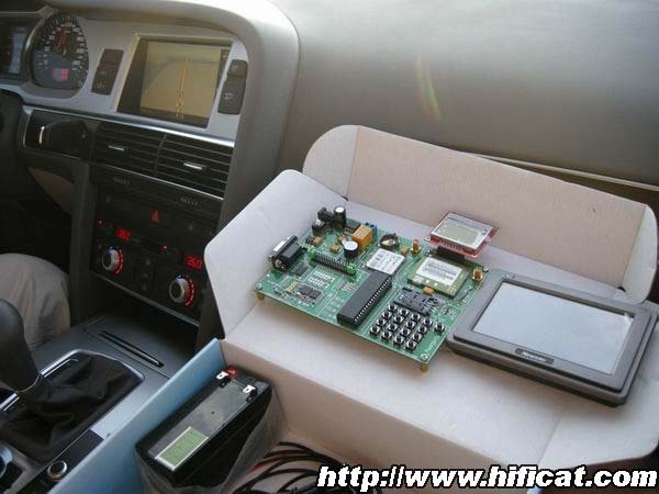
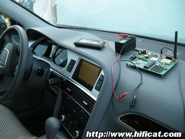
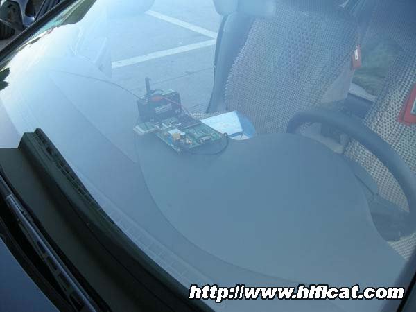
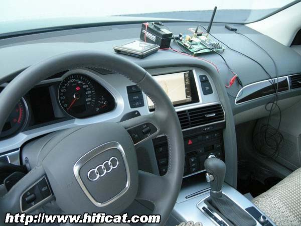
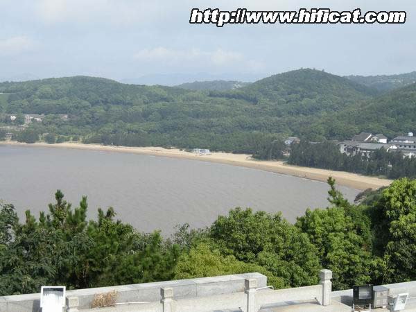
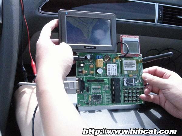
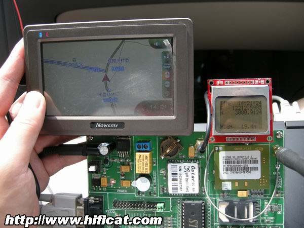
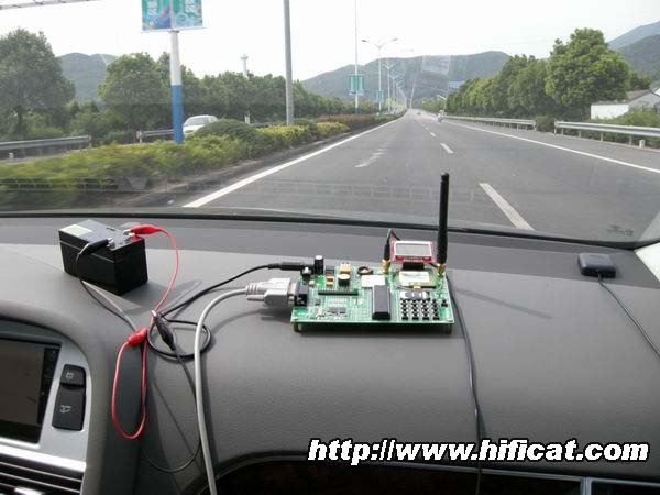
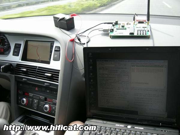
New PC software embedded in the Google map information, the software can directly enter the latitude and longitude data, tracing to the target location and in the Google map labeling and display. The Google map supply API function interface, the user can refer to the function, to achieve a variety of ways of positioning function and the path search function. For example: we can use the Google map API line tools to realize vehicle path playback and recording, these are very interesting and practical function. The development board in the car were tested and the whole process we were recorded. Now let’s look the following photos.
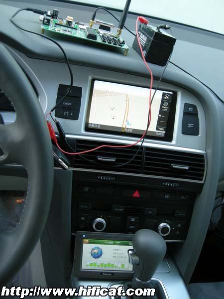
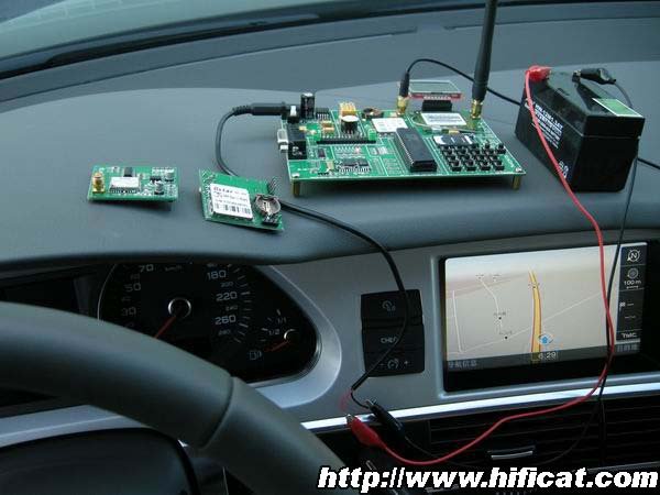
We also use an external GPS, it’s map has been upgraded. A train is running.
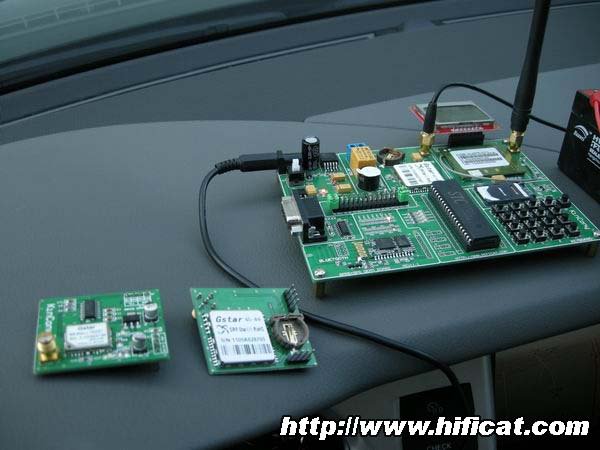
Because in the car, so we need to use 12V battery for the development board . We connect the GSM antenna and the GPS external antenna, opened at the GPS navigator, the current connection satellite number is 10, the signal is also good.
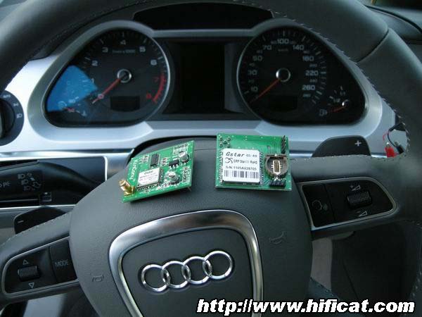
our production of the GS89 and GS92 GPS positioning module
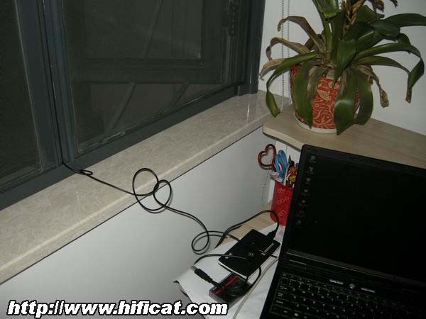
We use Keil software to edit the source in the target computer IP address and the server to connect. The latitude and longitude information to the remote server. After finished program will be download by burning software on the development board chip . The operation must be quick, the notebook power won’t last too long time, so the programming steps we have not take the photos. Packaging Details
|
Whatsapp: +86-15381188302HangZhou Zhejiang , China 310012
- HOME
- COMPANY
- PRODUCTS
- KNOWLEDGE
- DevelopmentSDK & API & DIY
- SOLUTIONS
- Beginner Guideguide-for-home-automation
- ESPHomeintegrate ESP with home assistant
- Node-REDintegrate for Node-RED
- Home Assistantintegrate for Home Assistant
- TasmotaOpen source firmware for ESP
- Domoticzintegrate for domoticz
- openHABintegrate for openHAB
- Raspberry PiRun on Raspberry Pi
- Arduinowork with Arduino
- IFTTT Automationwork without internet
- IoT Bookswrote by KinCony
- ONLINE STORE
- SERVICE
- CONTACT US
GPS GPRS MCU development board
You are here:
- Home
- PRODUCTS
- DEVELOPMENT
- GPS GPRS MCU development board

